 Image: Rockstar Games
Coastal metropolisRockstar-named destination
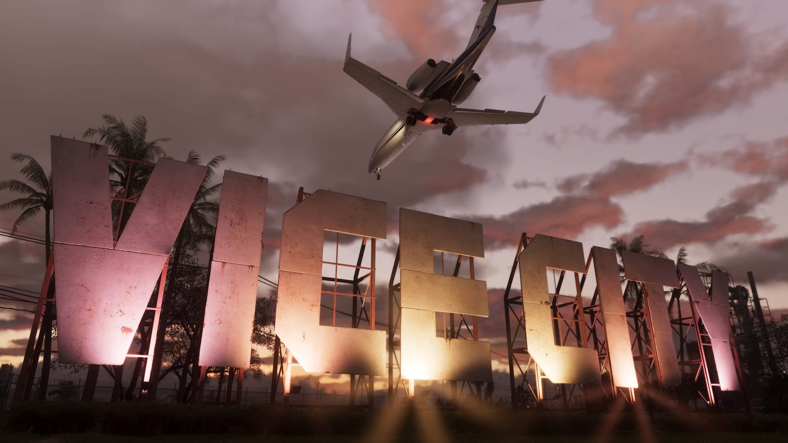
Vice City
The principal city highlighted in Rockstar’s GTA VI material, shown through beaches, dense streets, high-rise skylines, waterways and nightlife.
View destinationState and destination overview
Leonida is GTA VI’s fictional state, with Vice City as its best-known city. Rockstar’s published material also shows island, wetland, coastal, inland and mountain environments.
Map status: The six destination names come from Rockstar. Their category, shape, relative position and distance on this map remain editorial estimates.

The setting
Rockstar describes the story as a criminal conspiracy stretching across the state of Leonida. Its published material moves beyond Vice City into coastal, wetland, rural and mountain environments.
No official state outline or scale has been published. The illustration groups the revealed environments for exploration; every overlaid border is fan-drawn.
Named by Rockstar
Open a guide to see Rockstar screenshots, visible landmarks, estimated map context and the questions the available material cannot answer.
Image: Rockstar GamesThe principal city highlighted in Rockstar’s GTA VI material, shown through beaches, dense streets, high-rise skylines, waterways and nightlife.
View destination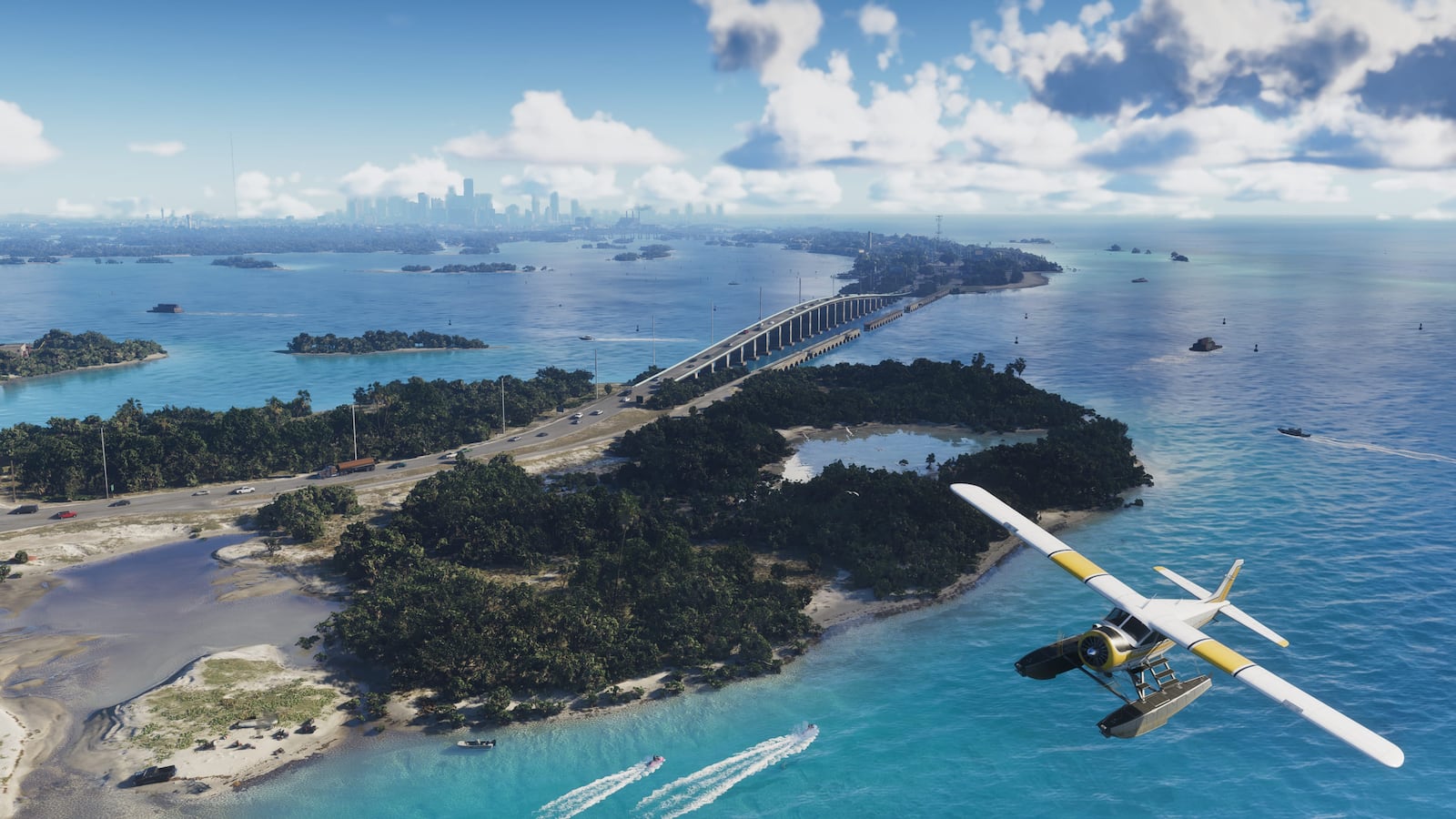 Image: Rockstar Games
A low-lying chain of islands, bridges, marinas and tropical waterways tied to Jason’s early story.
View destination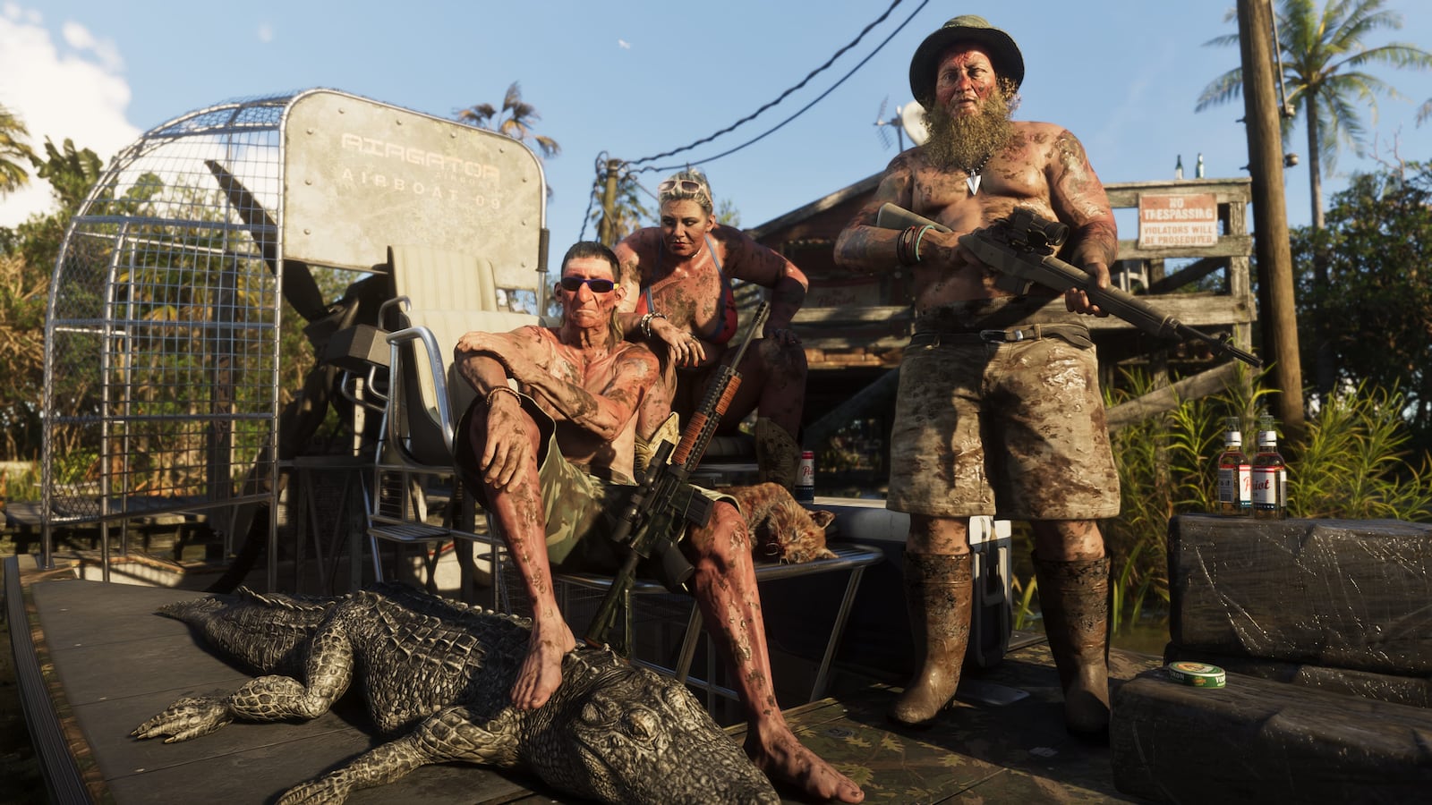 Image: Rockstar Games
A broad wetland environment of shallow water, marsh vegetation, wildlife and watercraft.
View destination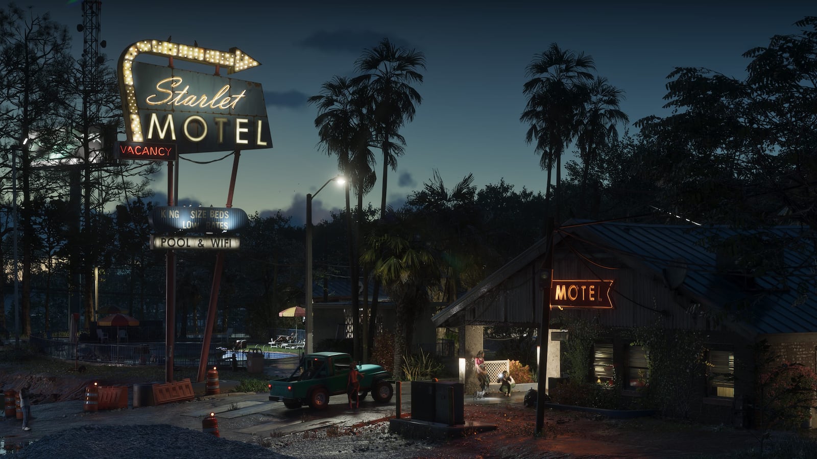 Image: Rockstar Games
A weathered, lower-density coastal settlement shown through motels, commercial roads and waterfront industry.
View destination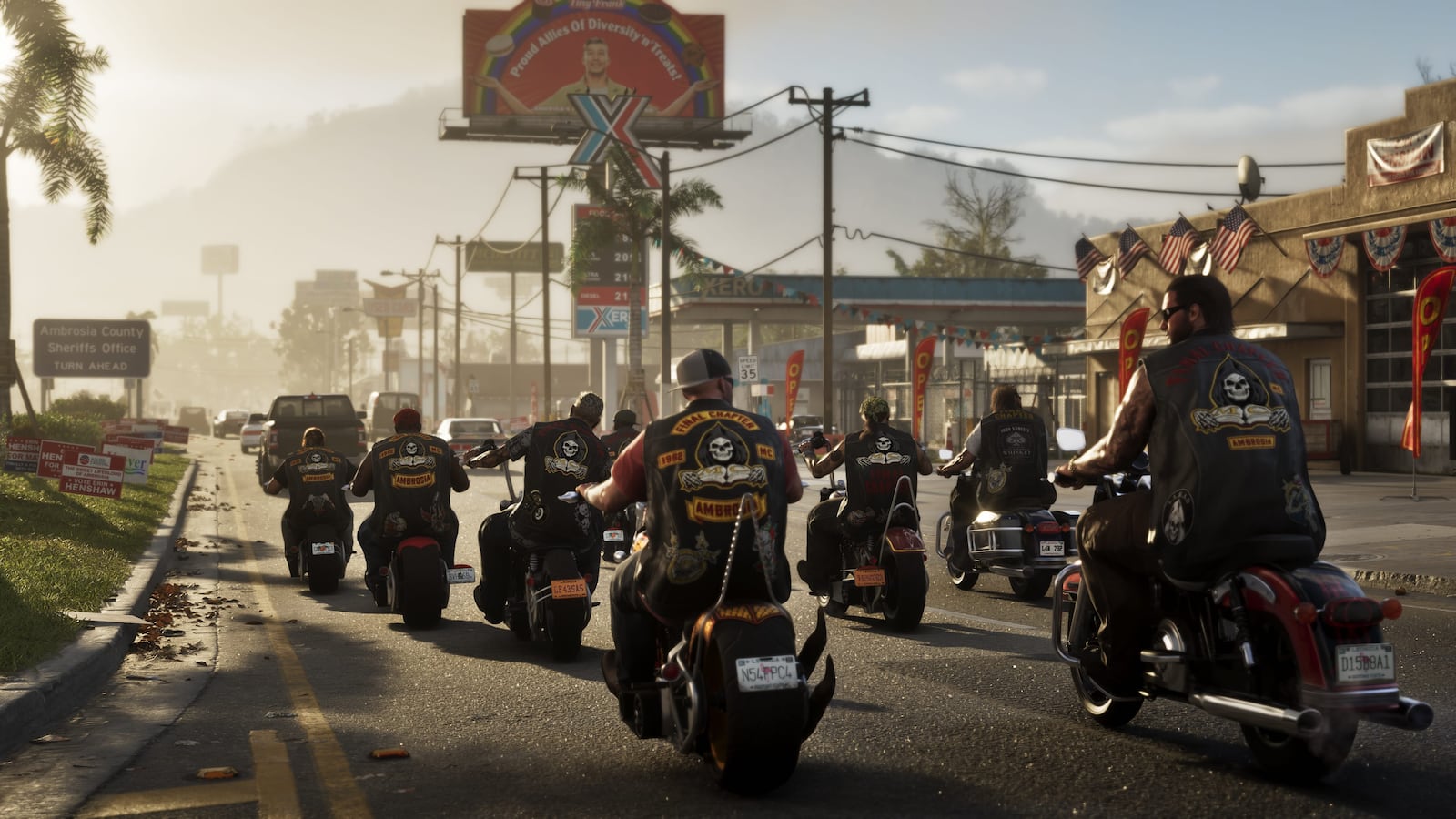 Image: Rockstar Games
A low-density inland setting with industrial structures, rural roads and roadside development.
View destination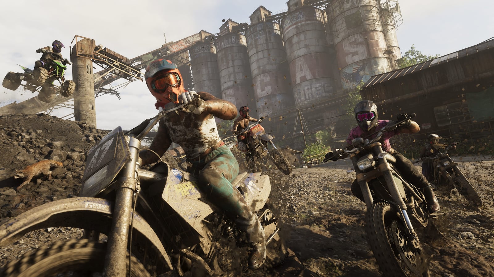 Image: Rockstar Games
Official images show wooded slopes, rocky waterways, steep roads and remote terrain beyond Leonida’s lowlands.
View destinationEnvironment comparison
Unlike the homepage cards, this directory shows the depth and review status of each guide.
| Destination | Official screenshots | Analyzed here | Map records | Visible in official media | Character connection | Last checked |
|---|---|---|---|---|---|---|
| Vice City | 9 | 2 | 5 | Beaches and waterfront roads · Dense urban streets | Lucia Caminos, Jason Duval | Jul 22, 2026 |
| Leonida Keys | 5 | 2 | 5 | Low islands · Causeways and bridges | Jason Duval, Brian Heder | Jul 22, 2026 |
| Grassrivers | 4 | 2 | 5 | Shallow wetlands · Tall wetland grass | None used in this guide | Jul 22, 2026 |
| Port Gellhorn | 5 | 2 | 5 | Low-rise commercial roads · Motels and roadside businesses | None used in this guide | Jul 22, 2026 |
| Ambrosia | 5 | 2 | 5 | County signage · Industrial structures | None used in this guide | Jul 22, 2026 |
| Mount Kalaga National Park | 6 | 2 | 5 | Rough industrial terrain · Mountain roads | None used in this guide | Jul 22, 2026 |
Map status
Rockstar’s destination names can be shown with confidence. Exact borders, roads and distances cannot; those remain estimates until a complete map is published.
A destination, person or fact directly named on Rockstar’s official pages or media library.
A feature seen in an official trailer or screenshot without inventing a formal place name.
A proposed position based on public images, landmarks and geographic relationships. It is not an official coordinate.
Read the originals
The destination names, images and release information above can be checked on Rockstar’s official GTA VI pages.