 Image: Rockstar Games
Coastal metropolisRockstar-named destination
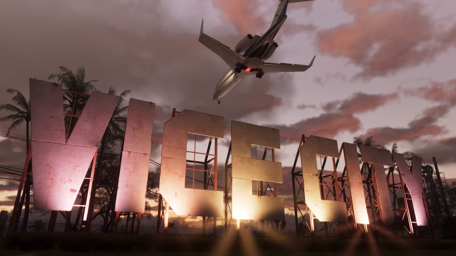
Vice City
The principal city highlighted in Rockstar’s GTA VI material, shown through beaches, dense streets, high-rise skylines, waterways and nightlife.
View destinationIndependent GTA VI map
Explore Rockstar-named destinations across Leonida, locations seen in official media and clearly labeled community map estimates. Rockstar has not released the complete GTA VI map.
Illustrated reconstruction · Markers may show regional context · Not to scale
Named by Rockstar
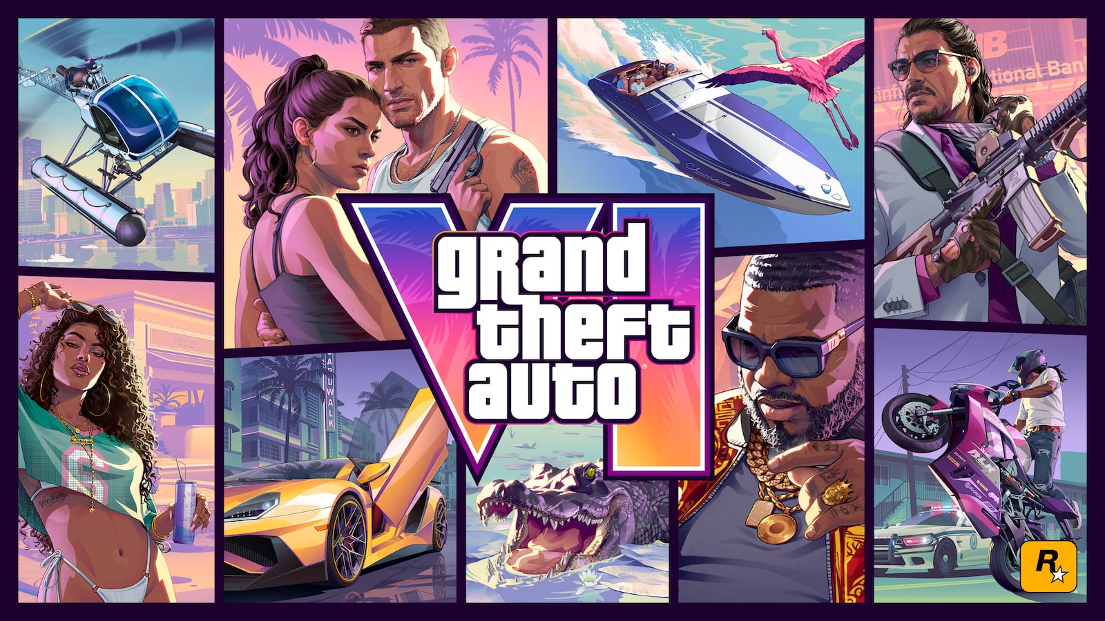
Rockstar’s official site and screenshot library name six destinations across Leonida. Each guide pairs the published images with a focused view of the fan-made map.
Image: Rockstar GamesThe principal city highlighted in Rockstar’s GTA VI material, shown through beaches, dense streets, high-rise skylines, waterways and nightlife.
View destination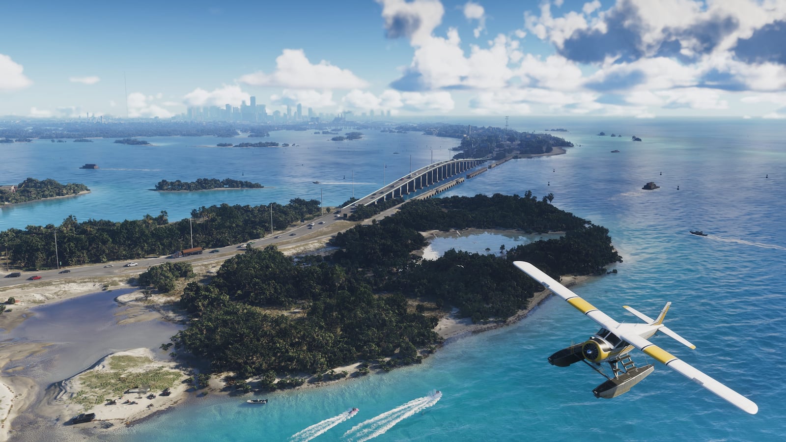 Image: Rockstar Games
A low-lying chain of islands, bridges, marinas and tropical waterways tied to Jason’s early story.
View destination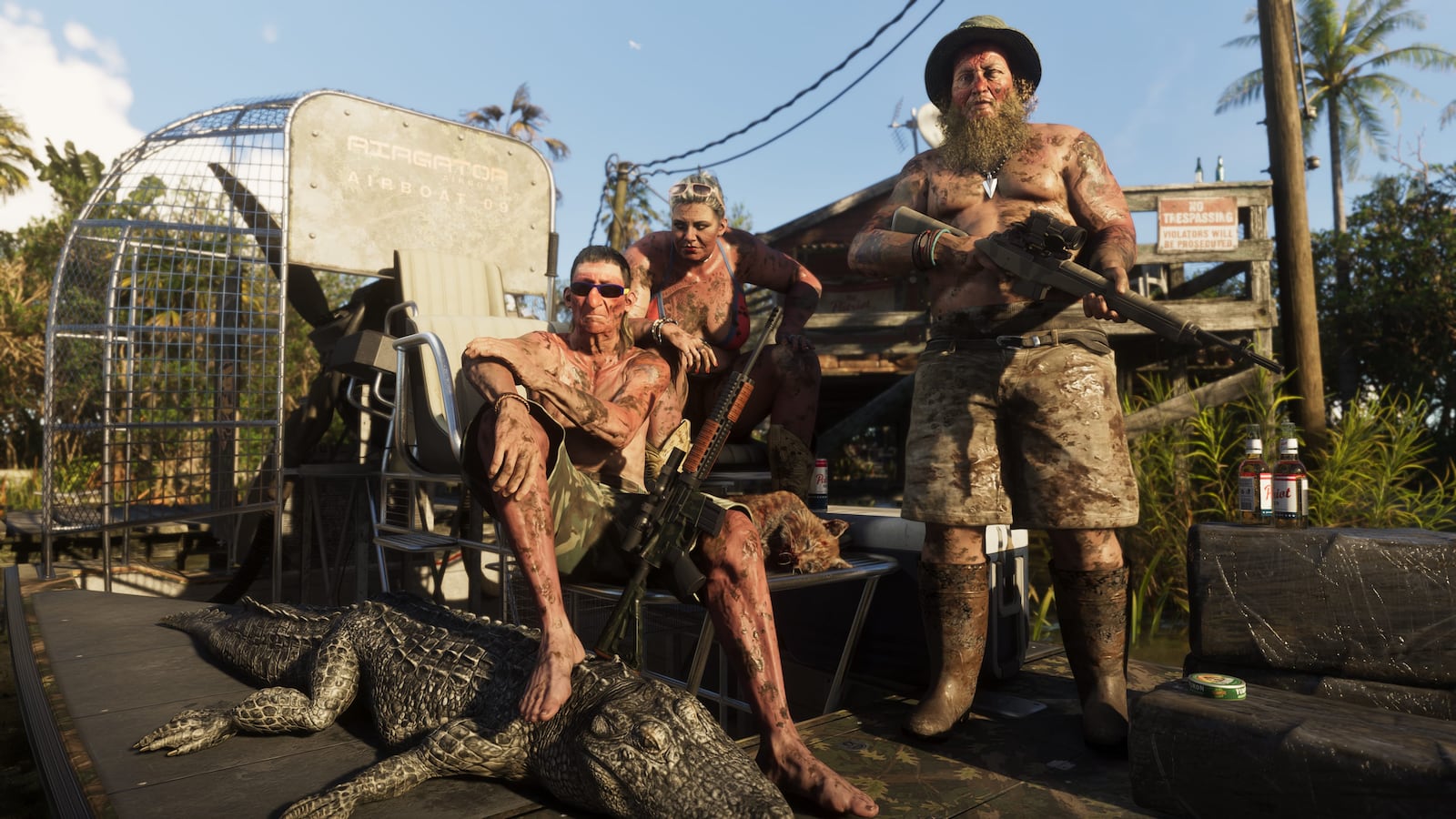 Image: Rockstar Games
A broad wetland environment of shallow water, marsh vegetation, wildlife and watercraft.
View destination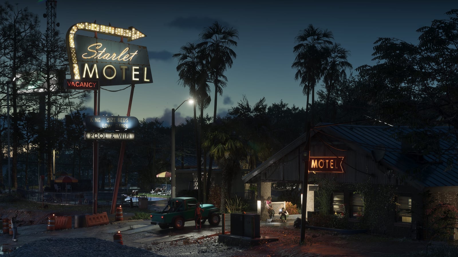 Image: Rockstar Games
A weathered, lower-density coastal settlement shown through motels, commercial roads and waterfront industry.
View destination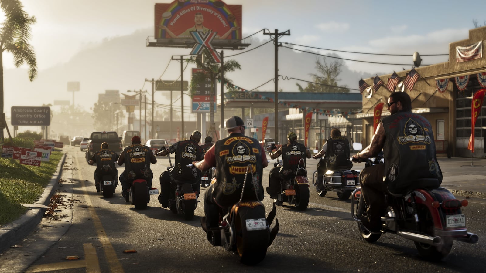 Image: Rockstar Games
A low-density inland setting with industrial structures, rural roads and roadside development.
View destination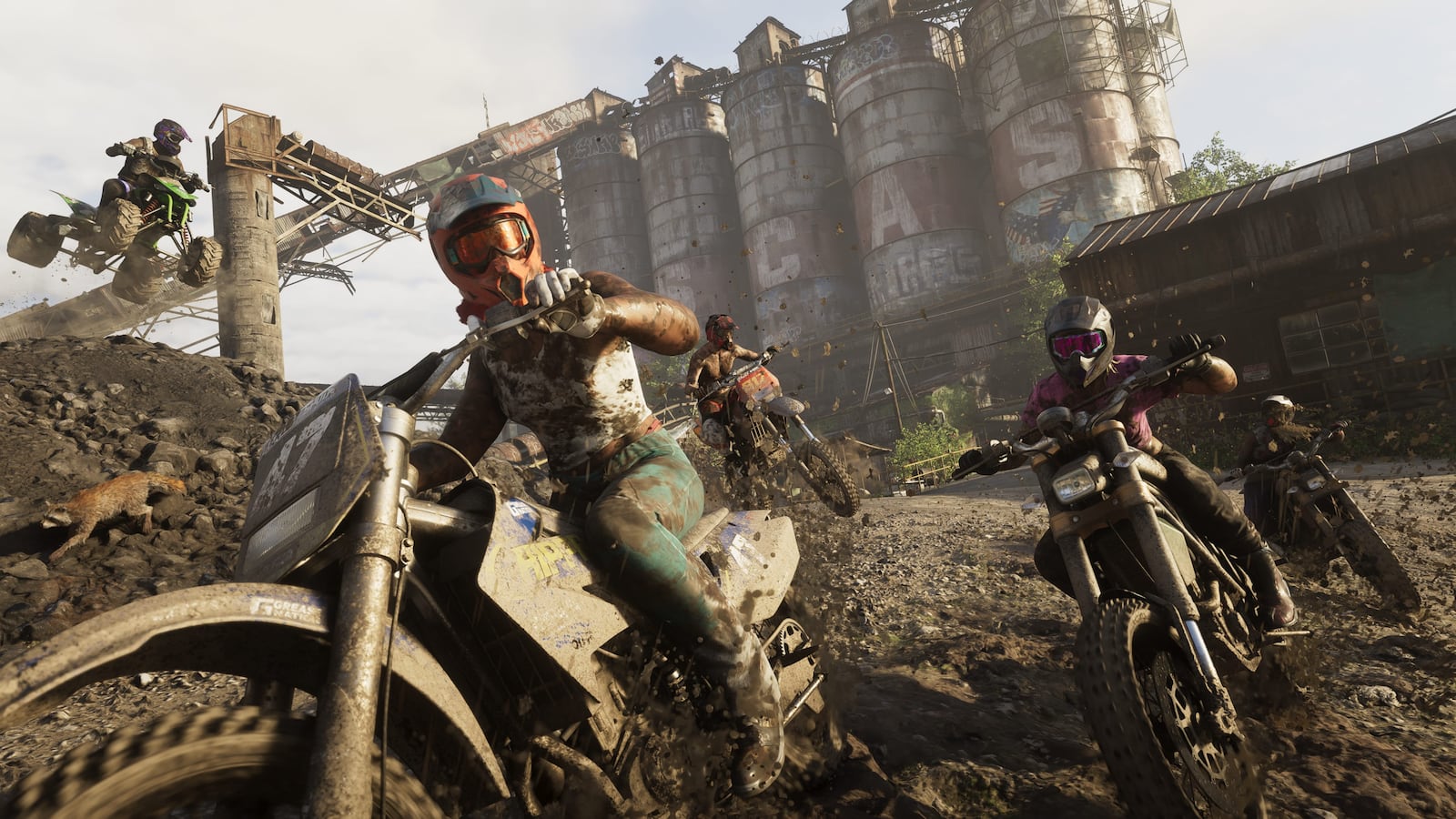 Image: Rockstar Games
Official images show wooded slopes, rocky waterways, steep roads and remote terrain beyond Leonida’s lowlands.
View destinationOfficial map facts
The setting is no longer a mystery, but its dimensions still are. These are the facts Rockstar has published so far.
Rockstar describes the story as stretching across the state of Leonida and presents Vice City as its principal highlighted city.
Official material presents city, island, wetland, coastal-town, industrial and mountain environments.
No complete border, coordinate system, land area, road network or official scale has been published.
Rockstar currently lists November 19, 2026 for PlayStation 5 and Xbox Series X|S.
How to read the map
Every marker tells you whether a name comes directly from Rockstar, a feature is simply visible in official media, or its position remains a community estimate.
A destination, person or fact directly named on Rockstar’s official pages or media library.
A feature seen in an official trailer or screenshot without inventing a formal place name.
A proposed position based on public images, landmarks and geographic relationships. It is not an official coordinate.
What changed
The changelog records new official material and visible revisions to map evidence.
Seventeen reviewed scenes now include exact timestamps, official-video frames and evidence limits.
A new original basemap adds roads, terrain, wetlands, city density and island causeways while keeping evidence layers separate.
Twelve selected official screenshots—two per destination—now accompany the six guides.
Vice City, the Keys, Grassrivers, Port Gellhorn, Ambrosia and Mount Kalaga are covered.
Official facts, media observations and estimated placements are separated across the site.
Before you explore
What Rockstar has released, what remains unknown and how this fan map should be read.
No. Rockstar has named six Leonida destinations and published trailers and screenshots, but it has not released the complete map, exact borders or coordinates.
Vice City, Leonida Keys, Grassrivers, Port Gellhorn, Ambrosia and Mount Kalaga National Park are named in Rockstar material.
Rockstar has not published the measurements required for an accurate size comparison.
No. The Leonida Survey is an independent fan-made map. Official facts, details visible in Rockstar media and community estimates are labeled separately.