 Image: Rockstar Games
Coastal metropolisRockstar-named destination
Vice City
The principal city highlighted in Rockstar’s GTA VI material, shown through beaches, dense streets, high-rise skylines, waterways and nightlife.
View destinationRockstar-named destination
Grassrivers is named by Rockstar and has a dedicated set of four official screenshots. The available material directly shows marsh water, wildlife and travel through a low-lying wetland environment.
Map status: Rockstar has confirmed the name Grassrivers, but has not published its exact boundary or position on a complete state map.
Interactive map
The dashed outline and marker positions are community estimates built from official images. They are orientation aids, not Rockstar coordinates.
Illustrated reconstruction · Markers may show regional context · Not to scale
Rockstar media library
Each image keeps its official asset name. Captions describe only what is visible and what the image cannot establish about the map.
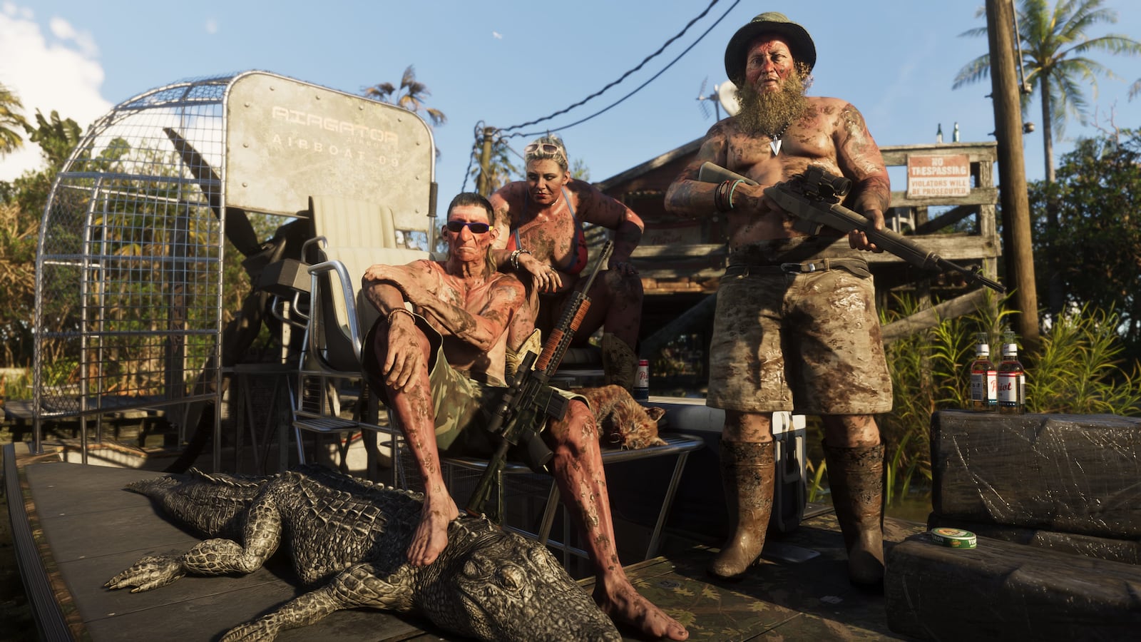 Official screenshot
The image directly shows an alligator and an airboat setting. It does not confirm a hunting activity or wildlife location.
Image source: Rockstar Games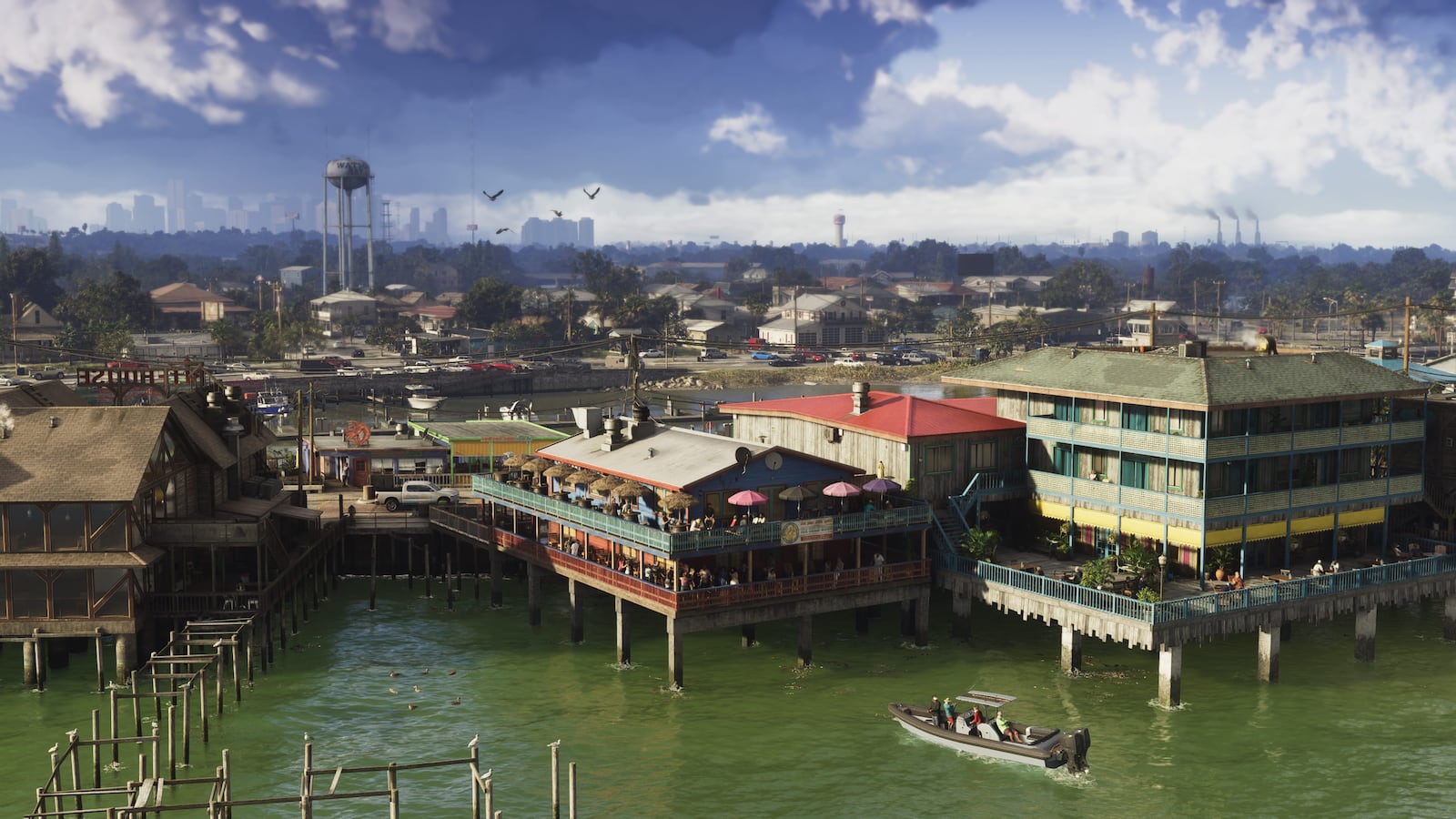 Official screenshot
Piers, boats and buildings over water demonstrate a lived-in wetland edge; the settlement is not positioned precisely on the map.
Image source: Rockstar GamesPublished evidence
A broad wetland environment of shallow water, marsh vegetation, wildlife and watercraft.
Rockstar’s media library groups a dedicated screenshot set under this destination’s name. That connects the visible settings to Grassrivers; it does not reveal a complete road network, playable boundary or list of activities.
| Evidence | Status | Source | What it shows | What it cannot prove |
|---|---|---|---|---|
| Grassrivers | Official | Only in Leonida: People & Places · GTA VI Official Screenshots | Grassrivers is directly named by Rockstar Games as a Leonida destination. | The official name does not establish a category, border, scale or coordinate on the complete state map. |
| Wildlife and airboats | Observed in media | Grassrivers 01 | An official image shows an alligator beside an airboat in shallow wetland water. | The image does not identify a channel, activity or wildlife location. |
| Waterfront settlement | Observed in media | Grassrivers 02 | A stilted waterfront settlement, small boats and shallow green water show how development meets the wetlands. | The settlement is not named or positioned precisely on a published map. |
| Wetland environment | Observed in media | Grassrivers 04 | Shallow water, dense vegetation and low-lying development define the available imagery. | Navigable routes, missions and hunting systems remain unknown. |
| Grassrivers estimated position | Community estimate | GTA VI Official Screenshots · Grand Theft Auto VI — Watch Trailer 2 Now | The relative placement shown for Grassrivers is a community estimate, not an official coordinate or border. | The marker and boundary are editorial orientation aids and may change when stronger public evidence appears. |
Broad expanses of tall wetland grass, shallow water, airboats and alligators invite an Everglades comparison. Rockstar presents a fictional wetland, so ecological resemblance should not be read as a scaled recreation.
Explore Leonida
See all six settings in the Leonida destinations overview, or open another guide below.
Image: Rockstar GamesThe principal city highlighted in Rockstar’s GTA VI material, shown through beaches, dense streets, high-rise skylines, waterways and nightlife.
View destination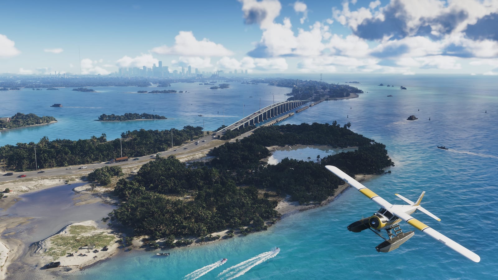 Image: Rockstar Games
A low-lying chain of islands, bridges, marinas and tropical waterways tied to Jason’s early story.
View destination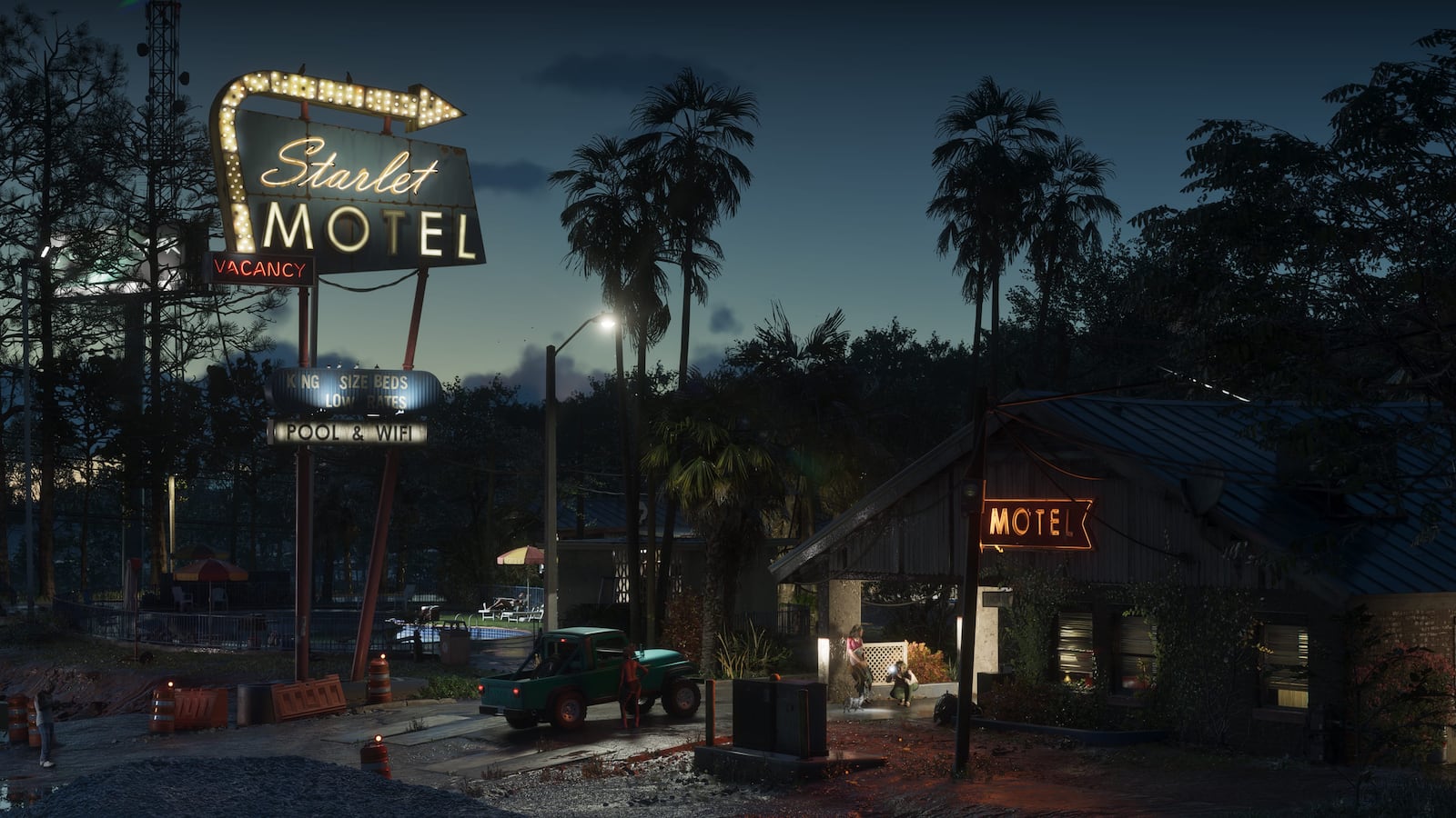 Image: Rockstar Games
A weathered, lower-density coastal settlement shown through motels, commercial roads and waterfront industry.
View destination